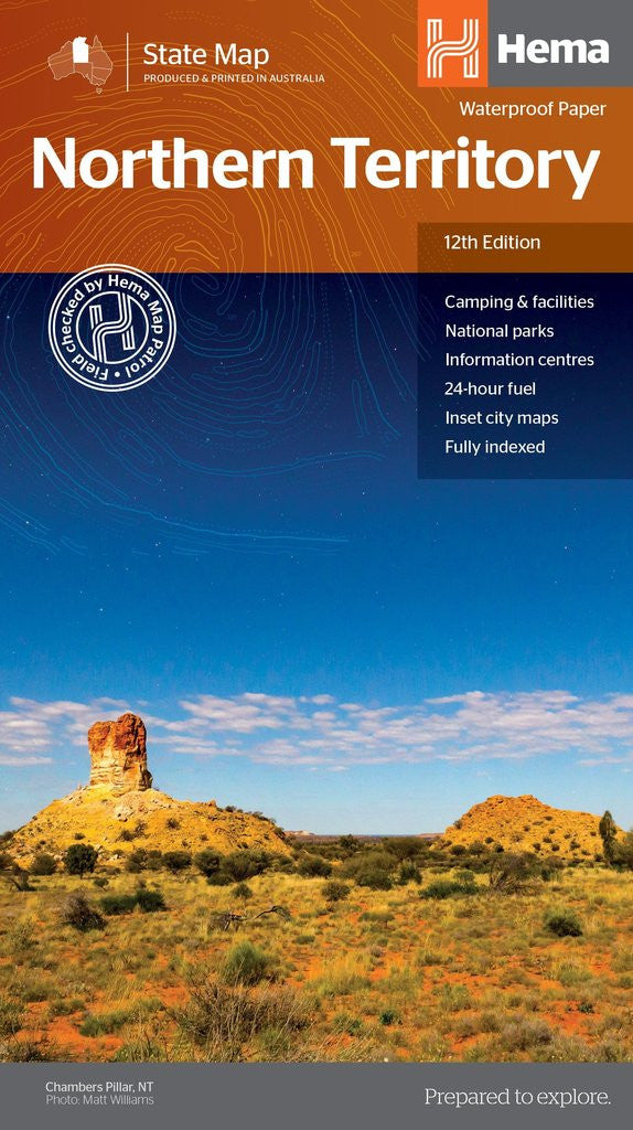
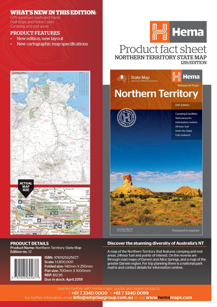
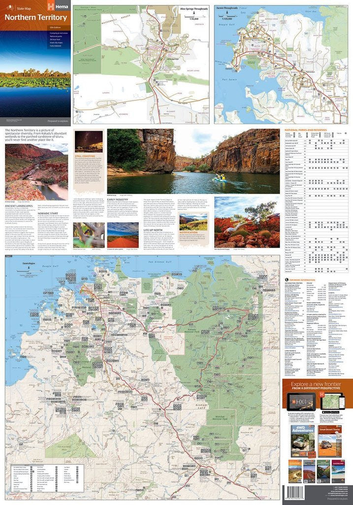

A touring map of the Northern Territory that has camping and rest areas, 24hour fuel and points of interest marked on the mapping. On the reverse are CBD maps of Darwin and Alice Springs, a map of the greater Darwin region and maps of Yulara, Uluru and Kata Tjuta with walking tracks, points of interest and accommodation included. For trip planning there is a national park matrix and contact details for information centres.
Features:
GPS surveyed roads and tracks
Fuel stops
4WD tracks
Camping areas
Historic sites
Detailed inset maps
Waterproof/Durable Paper
What's New in this edition:
New edition, new layout with waterproof paper
New cartographic map specifications